Blocks D1 D2 D3 and D4
Dublin 1 / Citywest
Part of The Quarter at Citywest / Tramway Citywest
Last Sale Price
€92,511,013
* Price is VAT exclusive · Learn more →
(Price paid including ~13.5% VAT = €105,000,000)
House
New Build
1 recorded sale
vs Dublin 1
+33540.4%
Median €275,000
3,974 sales
Growth +6.3%/yr · 15.5 yrs
This is more expensive than
100.0%
of properties in Dublin 1.
Percentile of 3,974 sales
Nearby Properties
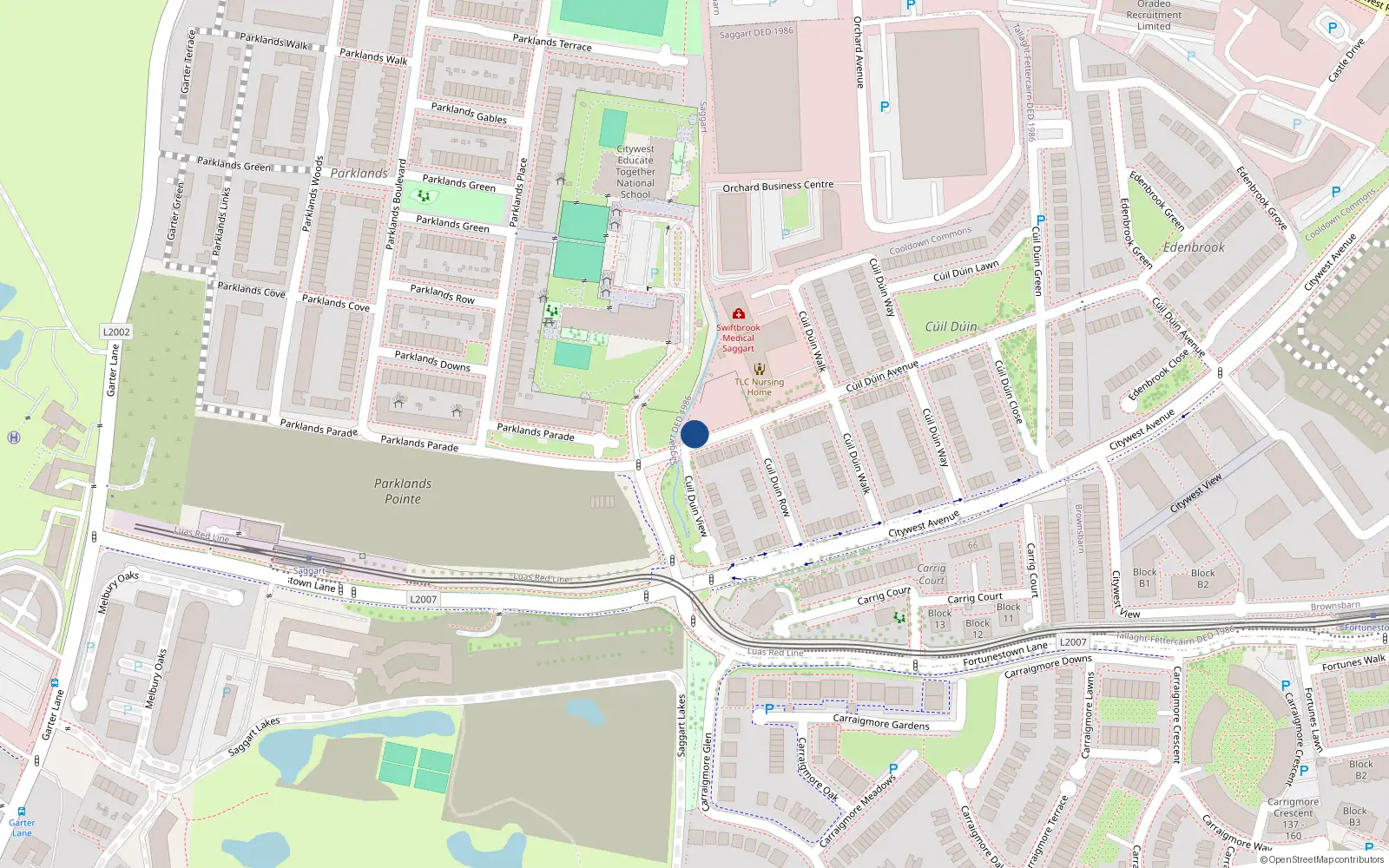
Loading interactive map…
Sale History
Price Intelligence
This property has one recorded sale for €92,511,013 on 20 Dec 2023.
What did Blocks D1 D2 D3 and D4 last sell for?
Blocks D1 D2 D3 and D4 last sold for €92,511,013 on 20 Dec 2023.
Growth metrics use repeat-sale properties only. Methodology.
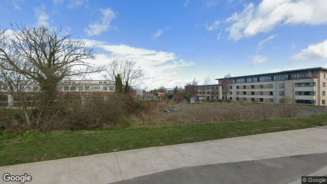
About Citywest
Citywest is a neighbourhood in Dublin 1, Dublin.
Area Median
€92,511,013
1 sales
District Median
€275,000
3,974 sales
Street Median
€92,511,013
1 sales
Housing in Dublin 1
Typical Size
57 m²
Typical Build
1999
BER Ratings
A (efficient)G
Based on 11,162 BER assessments — see district details