41 the Casino
Dublin 1 / Malahide / K36TX23
Last Sale Price
€600,000
House
Second-Hand
1 recorded sale
Rent registered · 2 bed
vs Malahide
-13.0%
Median €690,000
4 sales
Growth +9.6%/yr · 9.1 yrs
(limited data)
This is more expensive than
25.0%
of properties in Malahide.
Percentile of 4 sales
vs Dublin 1
+118.2%
Median €275,000
3,974 sales
Growth +6.3%/yr · 15.5 yrs
This is more expensive than
93.6%
of properties in Dublin 1.
Percentile of 3,974 sales

Nearby Properties
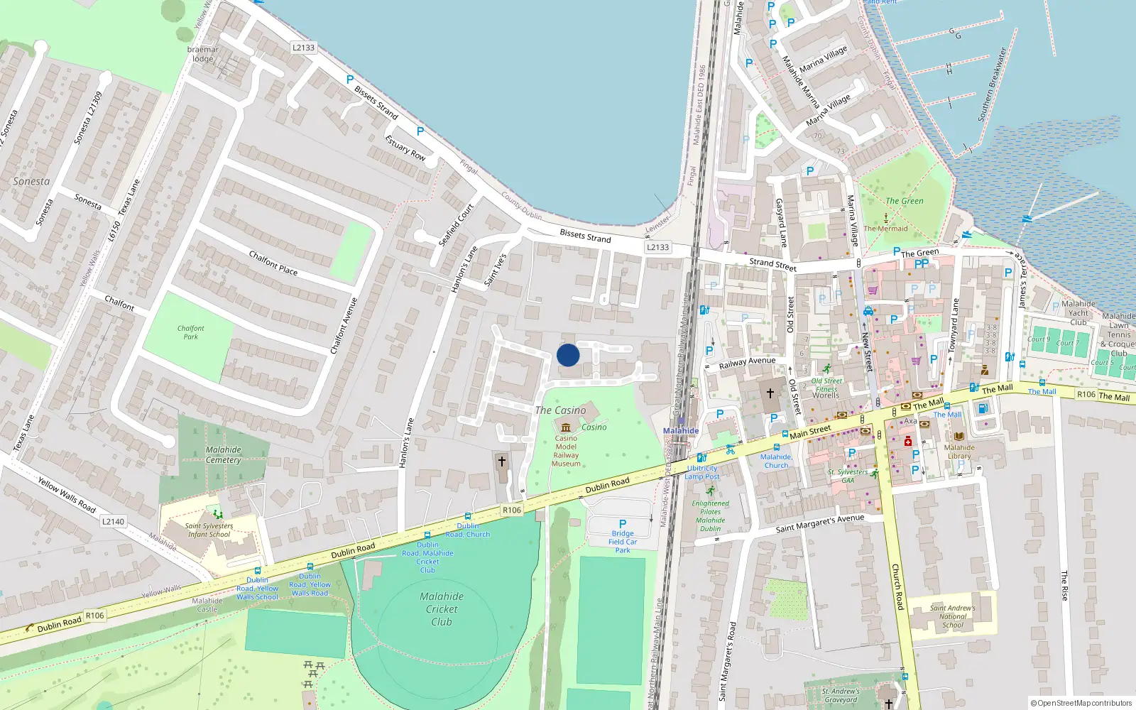
Loading interactive map…
Sale History
€600,000
last year
Second-Hand Dwelling house /Apartment
Price Intelligence
This property has one recorded sale for €600,000 on 14 Aug 2024.
What did 41 the Casino last sell for?
41 the Casino last sold for €600,000 on 14 Aug 2024.
Growth metrics use repeat-sale properties only. Methodology.
About Malahide
Malahide is a neighbourhood in Dublin 1, Dublin.
Area Median
€690,000
4 sales
District Median
€275,000
3,974 sales
Street Median
€600,000
1 sales
Housing in Dublin 1
Typical Size
57 m²
Typical Build
1999
BER Ratings
A (efficient)G
Based on 11,162 BER assessments — see district details