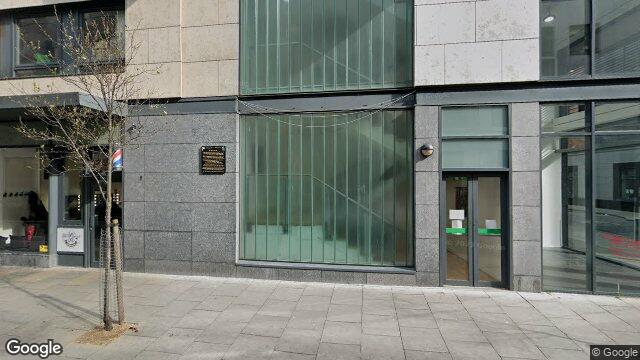
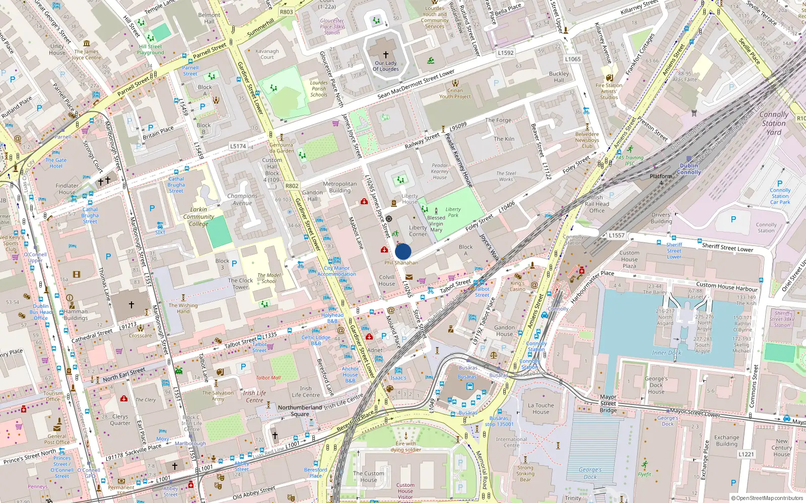
36 Liberty Corner
Dublin 1 / Mountjoy
Last Sale Price
Sale History
Price Intelligence
This property has one recorded sale for €160,000 on 21 Dec 2017. That places it 37.5% below the street median of €256,000.
What did 36 Liberty Corner last sell for?
36 Liberty Corner last sold for €160,000 on 21 Dec 2017.
How does 36 Liberty Corner compare to others near Foley Street?
At €160,000, 36 Liberty Corner last sold 37.5% below the Foley Street street median of €256,000 (based on 73 recorded sales).
How does 36 Liberty Corner compare to the rest of Mountjoy?
Compared to Mountjoy (median €248,000, 719 sales), 36 Liberty Corner sits 35.5% below the area average.
Growth metrics use repeat-sale properties only. Methodology.
Mountjoy Rental Market
Properties in Mountjoy like this one typically rent for the amounts below, based on tenancies registered with the Residential Tenancies Board.
Based on 13 registered tenancies. Source: RTB Rent Register. Yield estimated from median area rent vs last sale price.
About Mountjoy
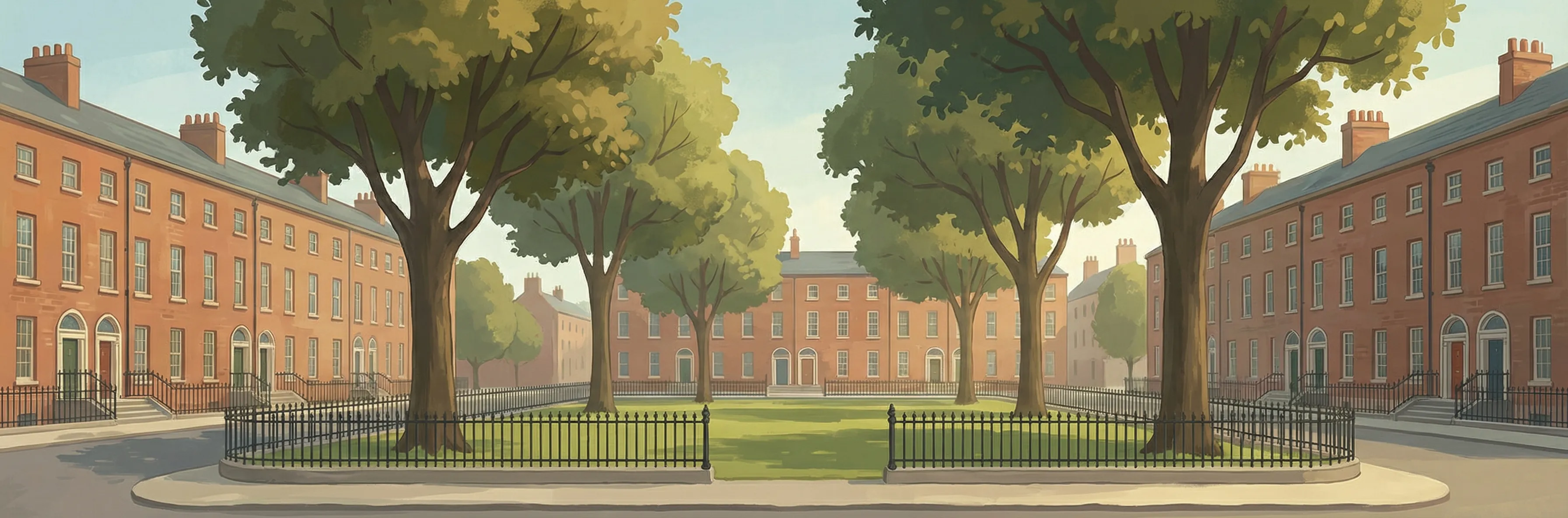
Dublin's only true Georgian square — a perfect square, each side exactly 140 metres — gives Mountjoy its architectural distinction. Laid out by Luke Gardiner in 1789, the uniform red-brick terraces with their decorative doorways and sash windows once housed the city's professional elite. Joyce, O'Casey, and Yeats all lived or stayed here at various points. The square has weathered decades of decline and recovery, and its restoration continues with quiet determination.
Housing in Dublin 1
Based on 11,162 BER assessments — see district details