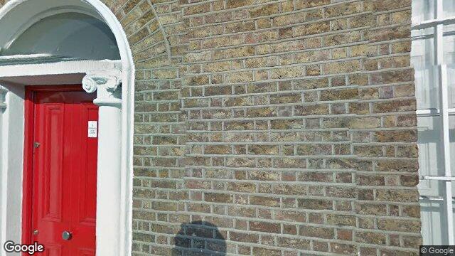
Apt 1, 3 Lower Ormond Quay
Dublin 1 / North City / D01WR52
Last Sale Price
Sale History
Overall: +18.4% from €1,900,000 to €2,250,000 ( → )
Price History
Price Intelligence
This property has been sold 2 times since 31 Jul 2020. The price has increased by +18.4% from €1,900,000 to €2,250,000. That works out to an annualised return of +3.3% over 5.2 years.
At €2,250,000, Apt 1 last sold 733.3% above the Ormond Quay Lower street median of €270,000 (based on 21 recorded sales). Compared to North City overall (median €264,000, 677 sales), Apt 1 sits 752.3% above the area average.
Repeat-sale properties on Ormond Quay Lower show a median investment growth rate of +2.8% per year over 9.7 years (2016 to 2025, 5 repeat-sale properties).
What did Apt 1 last sell for?
Apt 1 last sold for €2,250,000 on 2 Oct 2025.
How many times has Apt 1 been sold?
Apt 1 has been sold 2 times between 31 Jul 2020 and 2 Oct 2025. The price increased by 18.4% over that period.
How does Apt 1 compare to others near Ormond Quay Lower?
At €2,250,000, Apt 1 last sold 733.3% above the Ormond Quay Lower street median of €270,000 (based on 21 recorded sales).
How does Apt 1 compare to the rest of North City?
Compared to North City (median €264,000, 677 sales), Apt 1 sits 752.3% above the area average.
What is the investment growth rate on Ormond Quay Lower?
Using properties on Ormond Quay Lower with at least two recorded sales, the median annual growth rate is +2.8% per year over 9.7 years (2016 to 2025, 5 repeat-sale properties). How this is calculated.
Growth metrics use repeat-sale properties only. Methodology.
North City Rental Market
Properties in North City like this one typically rent for the amounts below, based on tenancies registered with the Residential Tenancies Board.
Based on 9 registered tenancies. Source: RTB Rent Register. Yield estimated from median area rent vs last sale price.

About North City
The commercial heart of Dublin's northside, centred on O'Connell Street — 46 metres wide, monument-lined, and carrying the weight of every significant chapter in modern Irish history from the 1916 Rising at the GPO to the construction of the Spire in 2003. Henry Street runs fully pedestrianised to the west, drawing shoppers in their thousands. The Luas Red and Green lines cross here, making this the city's principal transport interchange.
Housing in Dublin 1
Based on 11,162 BER assessments — see district details