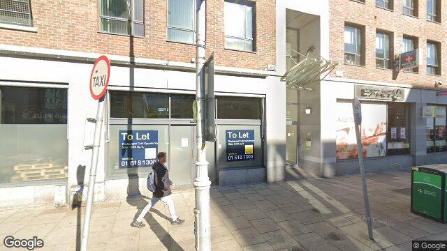
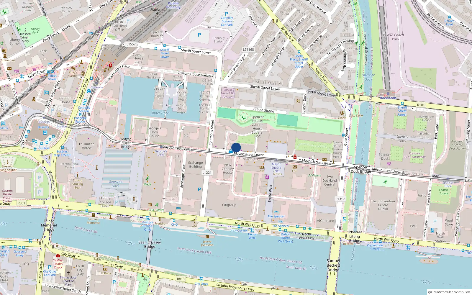
9 Gandon House

Dublin 1 / North Wall / D01PY27

Last Sale Price

€422,000
House Second-Hand 1 recorded sale
vs Street
+20.6%
Median €350,000
87 sales
Growth +5.8%/yr · 11.5 yrs
vs North Wall
+21.3%
Median €348,000
923 sales
Growth +4.1%/yr · 14.8 yrs
vs Dublin 1
+53.5%
Median €275,000
3,909 sales
Growth +6.3%/yr · 15.2 yrs
Nearby Properties
Loading map…

Sale History

1 sale
€422,000
2 yrs, 4 mo ago
Second-Hand Dwelling house /Apartment

Price Intelligence

This property has one recorded sale for €422,000 on 18 Oct 2023. That places it 20.6% above the street median of €350,000.

Street Rank
Top 24%
of 87 properties
Area Rank
Top 21%
of 923 properties
€122,500 Street range €4,463,000
This property: €422,000
What did 9 Gandon House last sell for?

9 Gandon House last sold for €422,000 on 18 Oct 2023.

How does 9 Gandon House compare to others near Mayor Street Lower?

At €422,000, 9 Gandon House last sold 20.6% above the Mayor Street Lower street median of €350,000 (based on 87 recorded sales).

How does 9 Gandon House compare to the rest of North Wall?

Compared to North Wall (median €348,000, 923 sales), 9 Gandon House sits 21.3% above the area average.

What is the investment growth rate on Mayor Street Lower?

Using properties on Mayor Street Lower with at least two recorded sales, the median annual growth rate is +5.8% per year over 11.5 years (2014 to 2025, 13 repeat-sale properties). How this is calculated.

Growth metrics use repeat-sale properties only. Methodology.
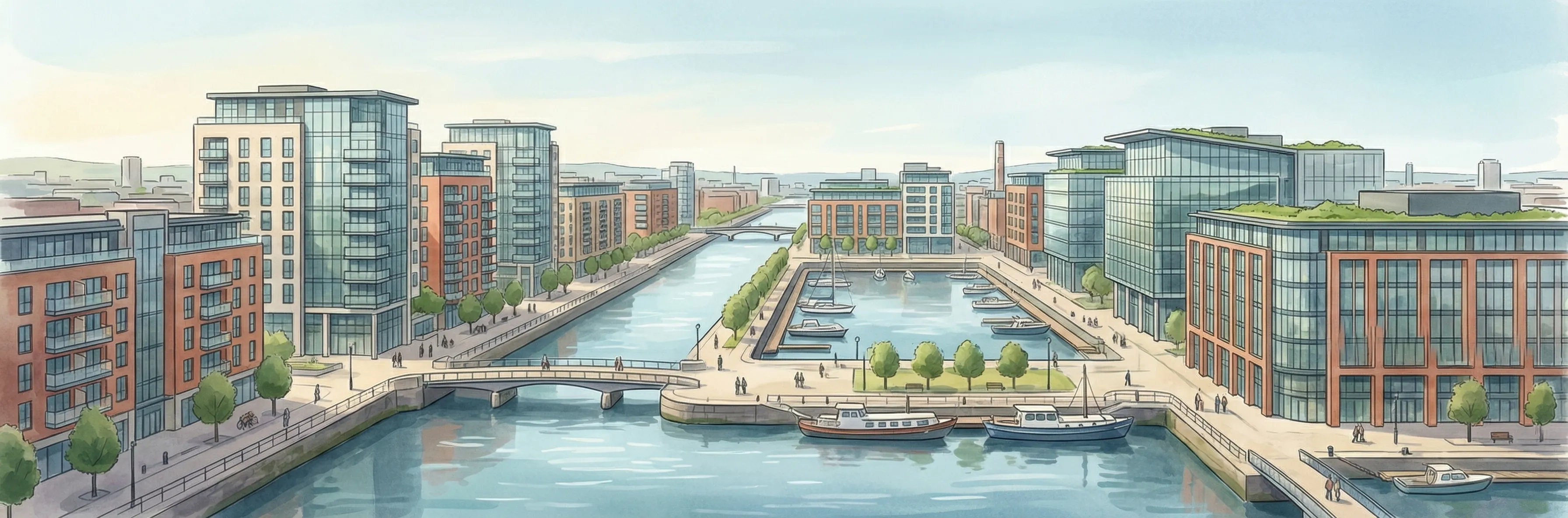
North Wall streetscape

About North Wall

North Wall is a neighbourhood in Dublin 1, Dublin.

Area Median
€348,000
923 sales
District Median
€275,000
3,909 sales
Street Median
€350,000
87 sales

Housing in Dublin 1

Typical Size
57 m²
Typical Build
1999
BER Ratings
A (efficient)G

Based on 11,162 BER assessments — see district details

Related Pages

Debug: Address & Geocode Data

Composed Display Address

9 Gandon House, Mayor St, Dublin 1

PPR Source

address 9 GANDON HOUSE, MAYOR ST, DUBLIN 1
canonical_address 9 GANDON HOUSE, MAYOR ST, DUBLIN 1
eircode (PPR) D01PY27
property_id 9e54e845e8874c6b0fbe3e2a87deea95cfd3d1c6
region dublin-01
format_display_address() 9 Gandon House, Mayor St, Dublin 1

Parsed Address (URL Gen)

district dublin-01
district_display Dublin 1
area north-wall
area_display North Wall
street mayor-street-lower
street_display Mayor Street Lower
house_number 9
slug 9-gandon-house-mayor-st
is_apartment false

Geocode Data

source_provider google
source_accuracy APPROXIMATE
latitude 53.3494988
longitude -6.244857499999999
formatted_address North Wall, Dublin 1, Co. Dublin, D01 PY27, Ireland
eircode (geocode) D01PY27
locality Dublin 1
county County Dublin
resolution_method conflict_unresolved_google_default
street_number
route
sublocality
address_components
show raw JSON
[{"long_name": "D01 PY27", "short_name": "D01 PY27", "types": ["postal_code"]}, {"long_name": "North Wall", "short_name": "North Wall", "types": ["neighborhood", "political"]}, {"long_name": "Dublin 1", "short_name": "Dublin 1", "types": ["postal_town"]}, {"long_name": "County Dublin", "short_name": "D", "types": ["administrative_area_level_1", "political"]}, {"long_name": "Ireland", "short_name": "IE", "types": ["country", "political"]}]

Provider Geocode Payloads

Google ok
query_text D01PY27, Ireland
fetched_at 2026-02-18T13:47:21Z
formatted_address North Wall, Dublin 1, Co. Dublin, D01 PY27, Ireland
eircode D01PY27
locality Dublin 1
county County Dublin
street_number
route
sublocality
latitude 53.3494988
longitude -6.244857499999999
address_components
show raw JSON
[
  {
    "long_name": "D01 PY27",
    "short_name": "D01 PY27",
    "types": [
      "postal_code"
    ]
  },
  {
    "long_name": "North Wall",
    "short_name": "North Wall",
    "types": [
      "neighborhood",
      "political"
    ]
  },
  {
    "long_name": "Dublin 1",
    "short_name": "Dublin 1",
    "types": [
      "postal_town"
    ]
  },
  {
    "long_name": "County Dublin",
    "short_name": "D",
    "types": [
      "administrative_area_level_1",
      "political"
    ]
  },
  {
    "long_name": "Ireland",
    "short_name": "IE",
    "types": [
      "country",
      "political"
    ]
  }
]
raw_payload
show raw JSON
{
  "accuracy": "APPROXIMATE",
  "address_components": [
    {
      "long_name": "D01 PY27",
      "short_name": "D01 PY27",
      "types": [
        "postal_code"
      ]
    },
    {
      "long_name": "North Wall",
      "short_name": "North Wall",
      "types": [
        "neighborhood",
        "political"
      ]
    },
    {
      "long_name": "Dublin 1",
      "short_name": "Dublin 1",
      "types": [
        "postal_town"
      ]
    },
    {
      "long_name": "County Dublin",
      "short_name": "D",
      "types": [
        "administrative_area_level_1",
        "political"
      ]
    },
    {
      "long_name": "Ireland",
      "short_name": "IE",
      "types": [
        "country",
        "political"
      ]
    }
  ],
  "country_code": "ie",
  "county": "County Dublin",
  "eircode": "D01PY27",
  "formatted_address": "North Wall, Dublin 1, Co. Dublin, D01 PY27, Ireland",
  "lat": 53.3494988,
  "locality": "Dublin 1",
  "lon": -6.244857499999999,
  "place_id": "ChIJBUlUVowOZ0gR7Jj40qCnsXc",
  "provider": "google",
  "route": "",
  "street_number": "",
  "sublocality": ""
}
Nominatim ok
query_text D01PY27, Ireland
fetched_at 2026-02-13T00:42:39Z
formatted_address National Library of Ireland, 7/8, Kildare Street, Mansion House B ED, Dublin, County Dublin, Leinster, D02 P638, Éire / Ireland
eircode D02P638
locality Dublin
county County Dublin
street_number 7/8
route Kildare Street
sublocality
latitude 53.3411249
longitude -6.2545
address_components
show raw JSON
{
  "ISO3166-2-lvl5": "IE-L",
  "ISO3166-2-lvl6": "IE-D",
  "amenity": "National Library of Ireland",
  "city": "Dublin",
  "city_district": "Mansion House B ED",
  "country": "\u00c9ire / Ireland",
  "country_code": "ie",
  "county": "County Dublin",
  "house_number": "7/8",
  "postcode": "D02 P638",
  "region": "Leinster",
  "road": "Kildare Street"
}
raw_payload
show raw JSON
{
  "accuracy": "library",
  "address_components": {
    "ISO3166-2-lvl5": "IE-L",
    "ISO3166-2-lvl6": "IE-D",
    "amenity": "National Library of Ireland",
    "city": "Dublin",
    "city_district": "Mansion House B ED",
    "country": "\u00c9ire / Ireland",
    "country_code": "ie",
    "county": "County Dublin",
    "house_number": "7/8",
    "postcode": "D02 P638",
    "region": "Leinster",
    "road": "Kildare Street"
  },
  "country_code": "ie",
  "county": "County Dublin",
  "eircode": "D02P638",
  "formatted_address": "National Library of Ireland, 7/8, Kildare Street, Mansion House B ED, Dublin, County Dublin, Leinster, D02 P638, \u00c9ire / Ireland",
  "lat": 53.3411249,
  "locality": "Dublin",
  "lon": -6.2545,
  "place_id": "255244705",
  "provider": "nominatim",
  "route": "Kildare Street",
  "street_number": "7/8",
  "sublocality": ""
}

Composition Path

Formatted address cleaned formatted_address (stripped ", Ireland" and Eircode)

Eircode Resolution

PPR eircode D01PY27
Geocode eircode D01PY27
best_eircode (used) D01PY27

BER Data (no BER match)

No BER data matched for this property.

Computed Metrics

property_type Second-Hand
dwelling_type House
size_description None
holding_years None
annualized_pct None
vs_street_median_pct 20.6
street_median 350000
street_sample_size 87
street_is_reliable true
vs_area_median_pct 21.3
area_median 348000
area_sample_size 923
area_is_reliable true
vs_district_median_pct 53.5
district_median 275000
district_sample_size 3909
district_is_reliable true
street_growth_rate_pct 5.8
street_growth_years 11.5
street_growth_sample_size 13
area_growth_rate_pct 4.1
area_growth_years 14.8
area_growth_sample_size 105
district_growth_rate_pct 6.3
district_growth_years 15.2
district_growth_sample_size 371
nearby_avg_price None
nearby_price_range None
nearby_count 0