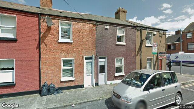
2 Sherrard Avenue
Dublin 1 / Off C R / D01PW08
Last Sale Price
€250,000
House
Second-Hand
1 recorded sale
vs Dublin 1
-9.1%
Median €275,000
3,974 sales
Growth +6.3%/yr · 15.5 yrs
This is more expensive than
39.6%
of properties in Dublin 1.
Percentile of 3,974 sales
Nearby Properties
16
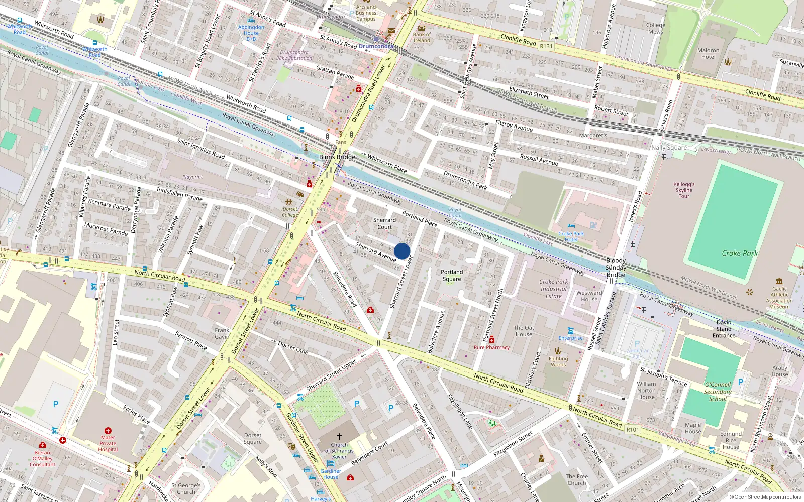
Loading interactive map…
Sale History
€250,000
7 years ago
Second-Hand Dwelling house /Apartment
Price Intelligence
This property has one recorded sale for €250,000 on 2 Oct 2018.
What did 2 Sherrard Avenue last sell for?
2 Sherrard Avenue last sold for €250,000 on 2 Oct 2018.
Growth metrics use repeat-sale properties only. Methodology.

About Off C R
Off C R is a neighbourhood in Dublin 1, Dublin.
Area Median
€250,000
1 sales
District Median
€275,000
3,974 sales
Street Median
€250,000
1 sales
Housing in Dublin 1
Typical Size
57 m²
Typical Build
1999
BER Ratings
A (efficient)G
Based on 11,162 BER assessments — see district details