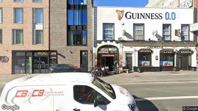
103/104 Upper Dorset Street
Dublin 1 / Phibsborough / D01F4W7
Last Sale Price
€170,000
House
Second-Hand
1 recorded sale
vs Street
-69.2%
Median €552,500
4 sales
(limited data)
vs Phibsborough
-52.8%
Median €360,000
26 sales
This is more expensive than
7.7%
of properties in Phibsborough.
Percentile of 26 sales
vs Dublin 1
-38.2%
Median €275,000
3,974 sales
Growth +6.3%/yr · 15.5 yrs
This is more expensive than
17.6%
of properties in Dublin 1.
Percentile of 3,974 sales
Nearby Properties
16
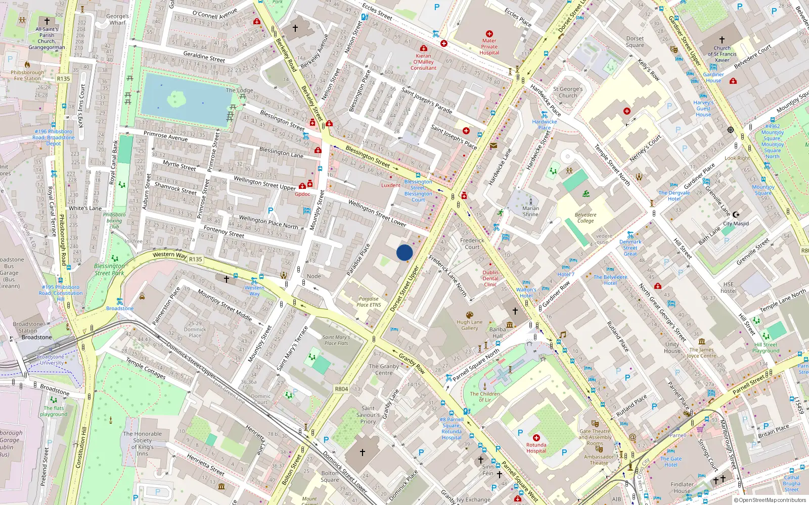
Loading interactive map…
Sale History
€170,000
2 years ago
Second-Hand Dwelling house /Apartment
Price Intelligence
This property has one recorded sale for €170,000 on 11 Mar 2024.
What did 103/104 Upper Dorset Street last sell for?
103/104 Upper Dorset Street last sold for €170,000 on 11 Mar 2024.
How does 103/104 Upper Dorset Street compare to the rest of Phibsborough?
Compared to Phibsborough (median €360,000, 26 sales), 103/104 Upper Dorset Street sits 52.8% below the area average.
Growth metrics use repeat-sale properties only. Methodology.
About Phibsborough
Phibsborough is a neighbourhood in Dublin 1, Dublin.
Area Median
€360,000
26 sales
District Median
€275,000
3,974 sales
Street Median
€552,500
4 sales
Housing in Dublin 1
Typical Size
57 m²
Typical Build
1999
BER Ratings
A (efficient)G
Based on 11,162 BER assessments — see district details