1 -5
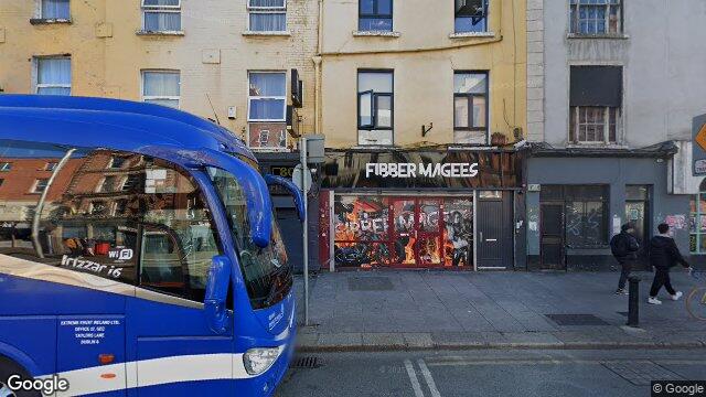
Dublin 1 / Rotunda / D01W3Y7
Last Sale Price
Sale History
Price Intelligence
This property has one recorded sale for €585,000 on 12 Apr 2019. That places it 167.9% above the street median of €218,333.
What did 1 -5 last sell for?
1 -5 last sold for €585,000 on 12 Apr 2019.
How does 1 -5 compare to others near Parnell Street?
At €585,000, 1 -5 last sold 167.9% above the Parnell Street street median of €218,333 (based on 152 recorded sales).
How does 1 -5 compare to the rest of Rotunda?
Compared to Rotunda (median €250,000, 782 sales), 1 -5 sits 134.0% above the area average.
What is the investment growth rate on Parnell Street?
Using properties on Parnell Street with at least two recorded sales, the median annual growth rate is +6.1% per year over 11.8 years (2013 to 2025, 18 repeat-sale properties). How this is calculated.
Growth metrics use repeat-sale properties only. Methodology.
Rotunda Rental Market
Properties in Rotunda like this one typically rent for the amounts below, based on tenancies registered with the Residential Tenancies Board.
Based on 9 registered tenancies. Source: RTB Rent Register. Yield estimated from median area rent vs last sale price.

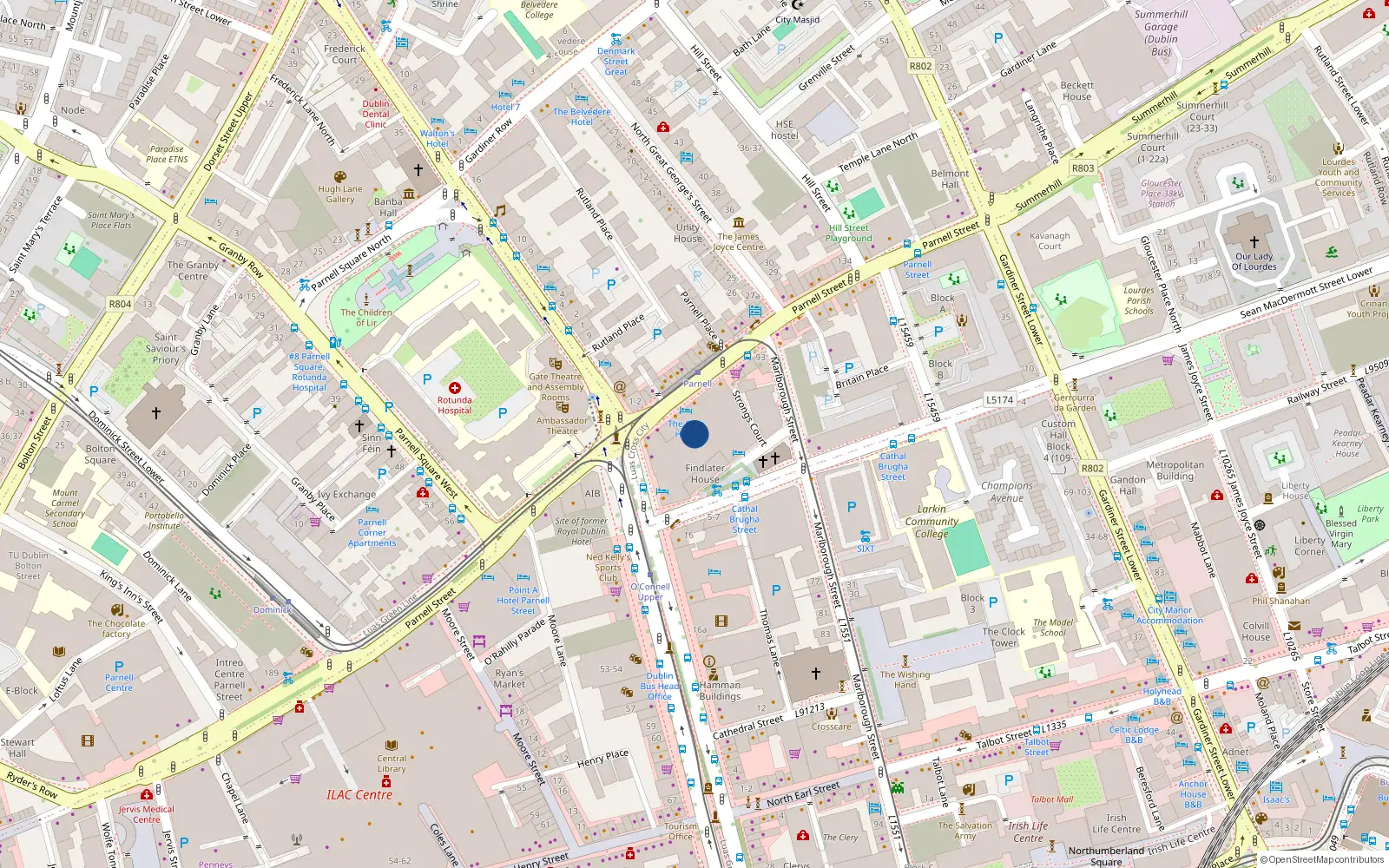
About Rotunda
Parnell Square anchors this quarter — Dublin's first Georgian square, developed in the 1750s around the Rotunda Hospital, the world's oldest continuously operating maternity hospital. The Gate Theatre, Hugh Lane Gallery, and Garden of Remembrance sit within a few minutes' walk of each other, lending the area a concentrated cultural weight. The streets here carry layers of history from the 1913 Lockout rallies to the Irish Volunteers' first public meeting.
Housing in Dublin 1
Based on 11,162 BER assessments — see district details