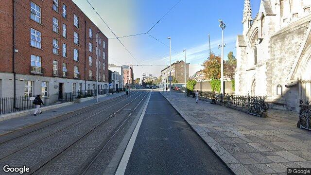
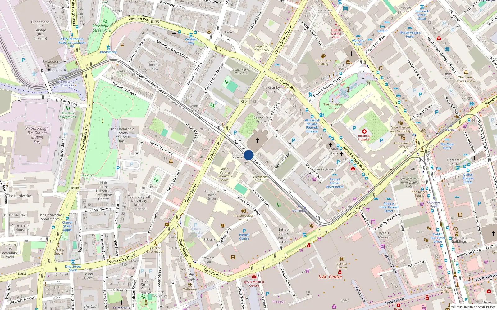
Apt 20 Bolton Square, 33 Dominick Street Lower
Dublin 1 / Rotunda
Last Sale Price
Sale History
Price Intelligence
This property has one recorded sale for €185,000 on 15 Mar 2019. That places it 19.6% below the street median of €230,000.
What did Apt 20 Bolton Square last sell for?
Apt 20 Bolton Square last sold for €185,000 on 15 Mar 2019.
How does Apt 20 Bolton Square compare to others near Dominick Street Lower?
At €185,000, Apt 20 Bolton Square last sold 19.6% below the Dominick Street Lower street median of €230,000 (based on 26 recorded sales).
How does Apt 20 Bolton Square compare to the rest of Rotunda?
Compared to Rotunda (median €250,000, 782 sales), Apt 20 Bolton Square sits 26.0% below the area average.
What is the investment growth rate on Dominick Street Lower?
Using properties on Dominick Street Lower with at least two recorded sales, the median annual growth rate is +8.2% per year over 8.4 years (2016 to 2024, 3 repeat-sale properties). How this is calculated.
Growth metrics use repeat-sale properties only. Methodology.
Rotunda Rental Market
Properties in Rotunda like this one typically rent for the amounts below, based on tenancies registered with the Residential Tenancies Board.
Based on 9 registered tenancies. Source: RTB Rent Register. Yield estimated from median area rent vs last sale price.

About Rotunda
Parnell Square anchors this quarter — Dublin's first Georgian square, developed in the 1750s around the Rotunda Hospital, the world's oldest continuously operating maternity hospital. The Gate Theatre, Hugh Lane Gallery, and Garden of Remembrance sit within a few minutes' walk of each other, lending the area a concentrated cultural weight. The streets here carry layers of history from the 1913 Lockout rallies to the Irish Volunteers' first public meeting.
Housing in Dublin 1
Based on 11,162 BER assessments — see district details