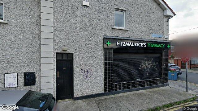
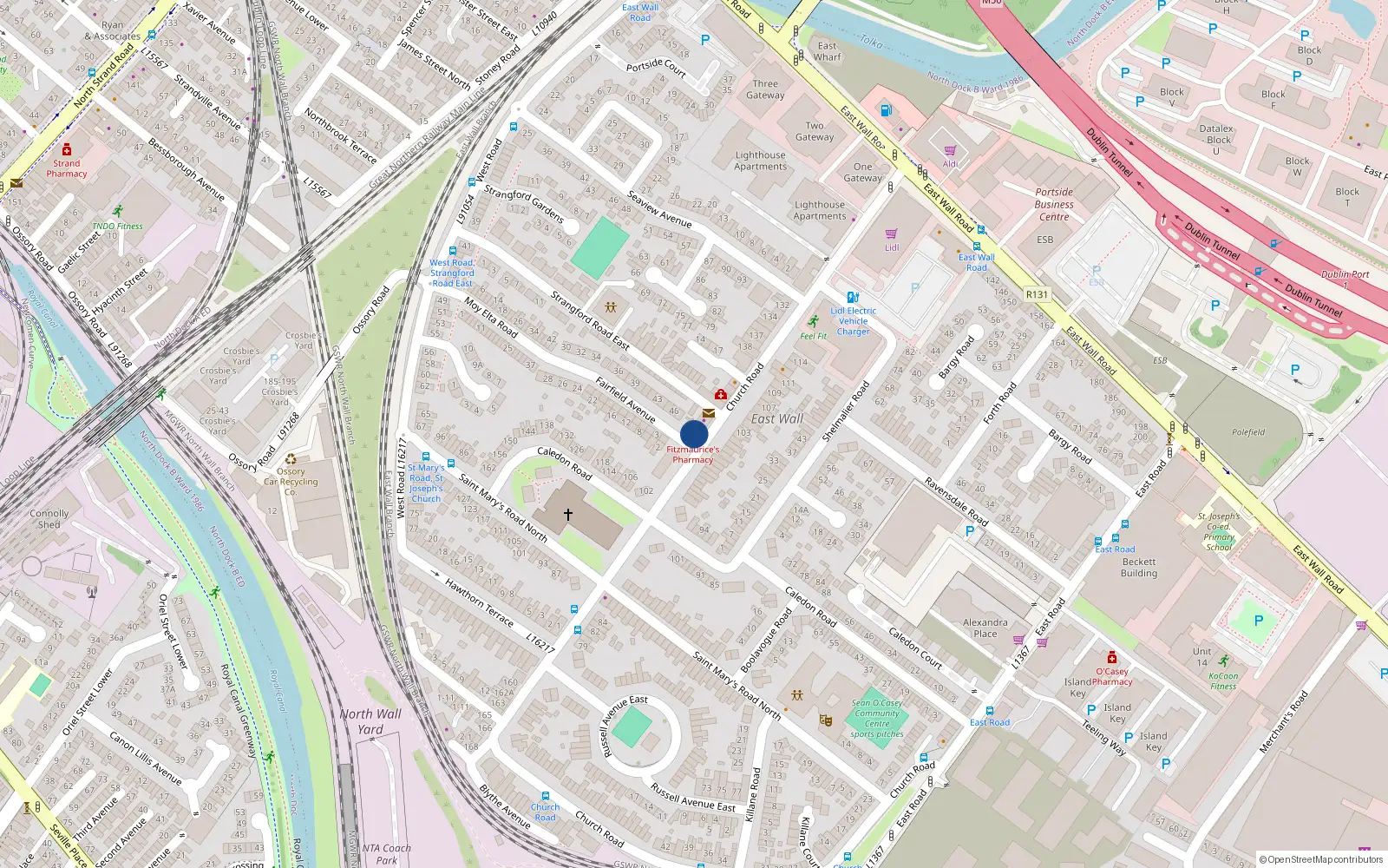
150 Church Road
Dublin 3 / East Wall / D03TK80
Last Sale Price
Sale History
Price Intelligence
This property has one recorded sale for €285,000 on 26 Aug 2019. That places it 29.5% above the street median of €220,000.
What did 150 Church Road last sell for?
150 Church Road last sold for €285,000 on 26 Aug 2019.
How does 150 Church Road compare to others near Church Road?
At €285,000, 150 Church Road last sold 29.5% above the Church Road street median of €220,000 (based on 35 recorded sales).
How does 150 Church Road compare to the rest of East Wall?
Compared to East Wall (median €235,000, 332 sales), 150 Church Road sits 21.3% above the area average.
What is the investment growth rate on Church Road?
Using properties on Church Road with at least two recorded sales, the median annual growth rate is +5.8% per year over 5.7 years (2015 to 2020, 5 repeat-sale properties). How this is calculated.
Growth metrics use repeat-sale properties only. Methodology.
About East Wall
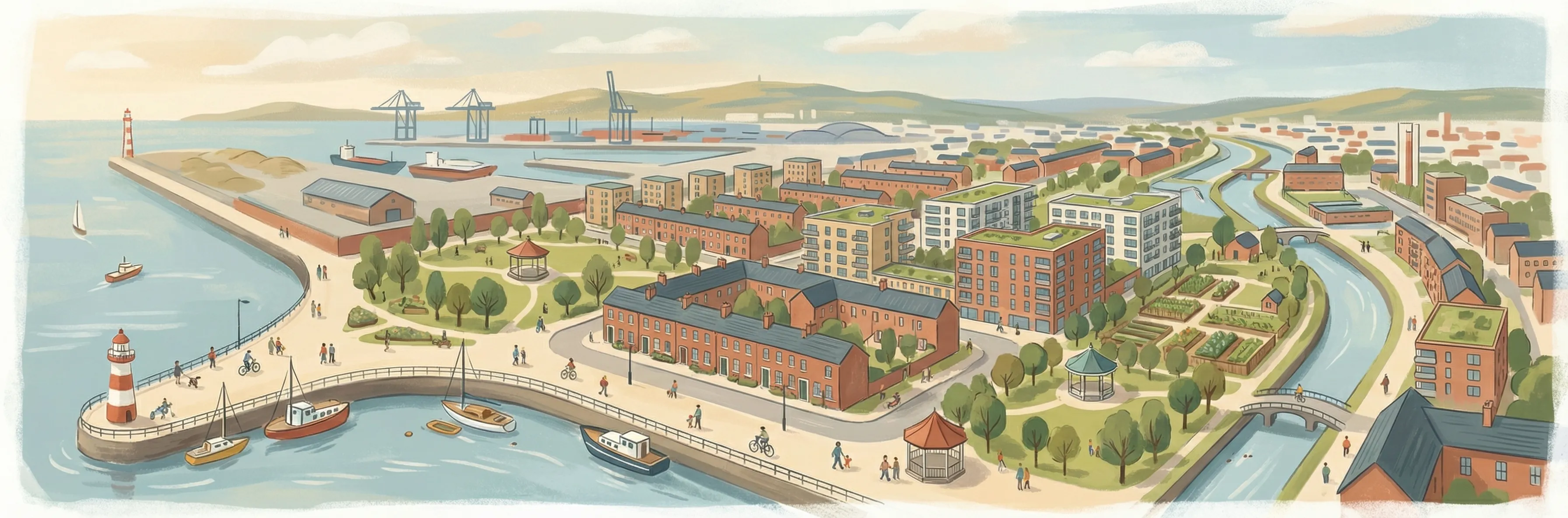
A tight-knit community with deep roots in Dublin Port, East Wall maintains a distinct village identity despite sitting alongside the Docklands' glass-tower regeneration. Low-rise brick streets, corner shops, and strong local institutions — including the Sean O'Casey Community Centre — characterise a neighbourhood that was built on land reclaimed from the sea in the 1820s. The proximity to Spencer Dock and Connolly Station keeps the city centre close at hand.
Housing in Dublin 3
Based on 11,869 BER assessments — see district details