6 Marino Court
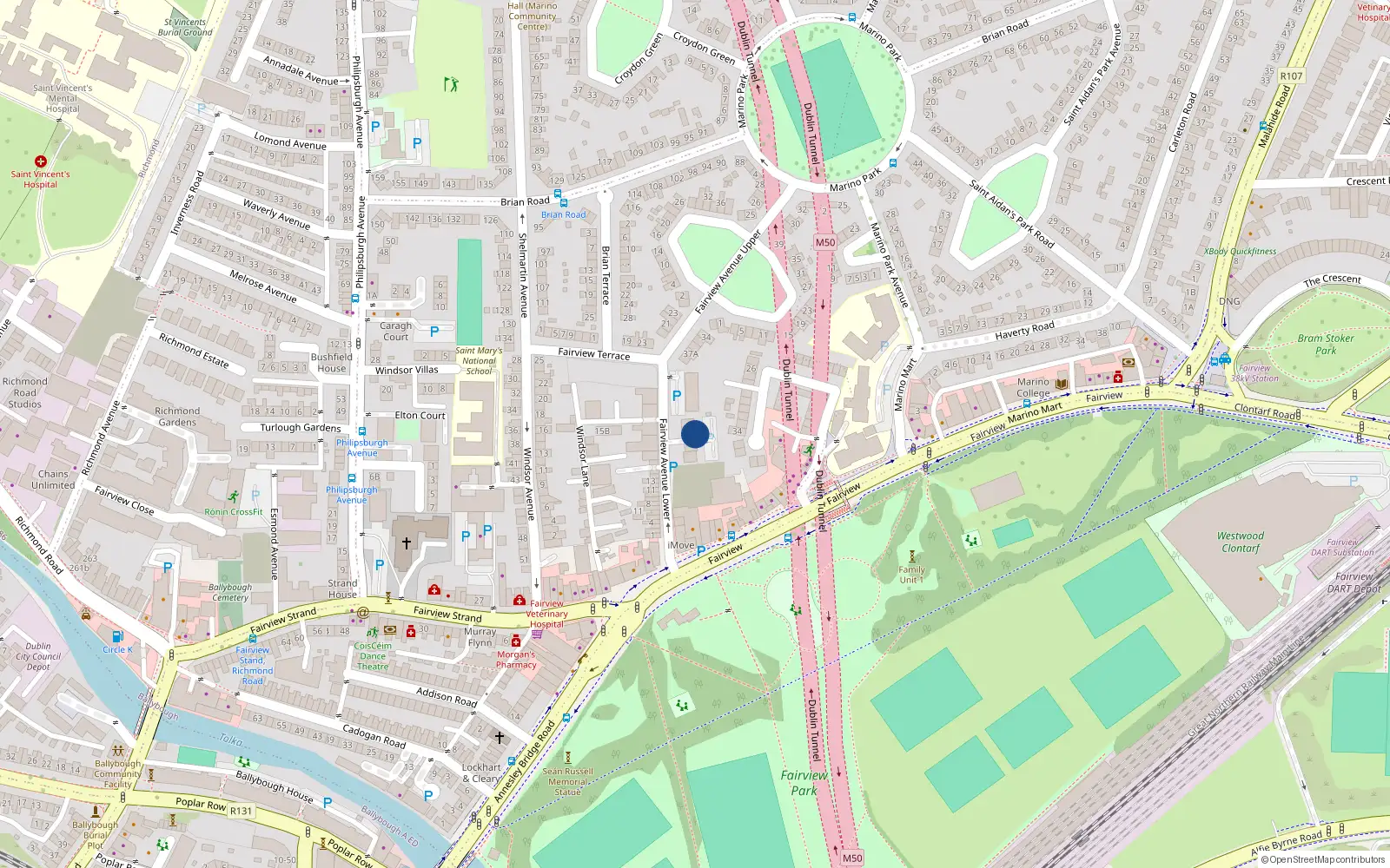
Dublin 3 / Fairview Ave Lower / D03KA48
Estimate mortgage repayments →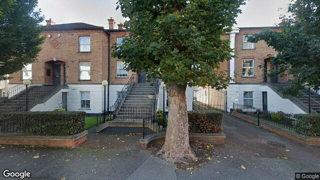
Sale History
Overall: -64.9% from €336,000 to €118,000 ( → )
Price History
Price Intelligence
This property has been sold 2 times since 19 Dec 2018. The price has decreased by -64.9% from €336,000 to €118,000.
What did 6 Marino Court last sell for?
6 Marino Court last sold for €118,000 on 29 Mar 2023.
How many times has 6 Marino Court been sold?
6 Marino Court has been sold 2 times between 19 Dec 2018 and 29 Mar 2023. The price decreased by 64.9% over that period.
Growth metrics use repeat-sale properties only. Methodology.

About Fairview Ave Lower
Fairview Ave Lower is a neighbourhood in Dublin 3, Dublin.
Housing in Dublin 3
Based on 11,869 BER assessments — see district details