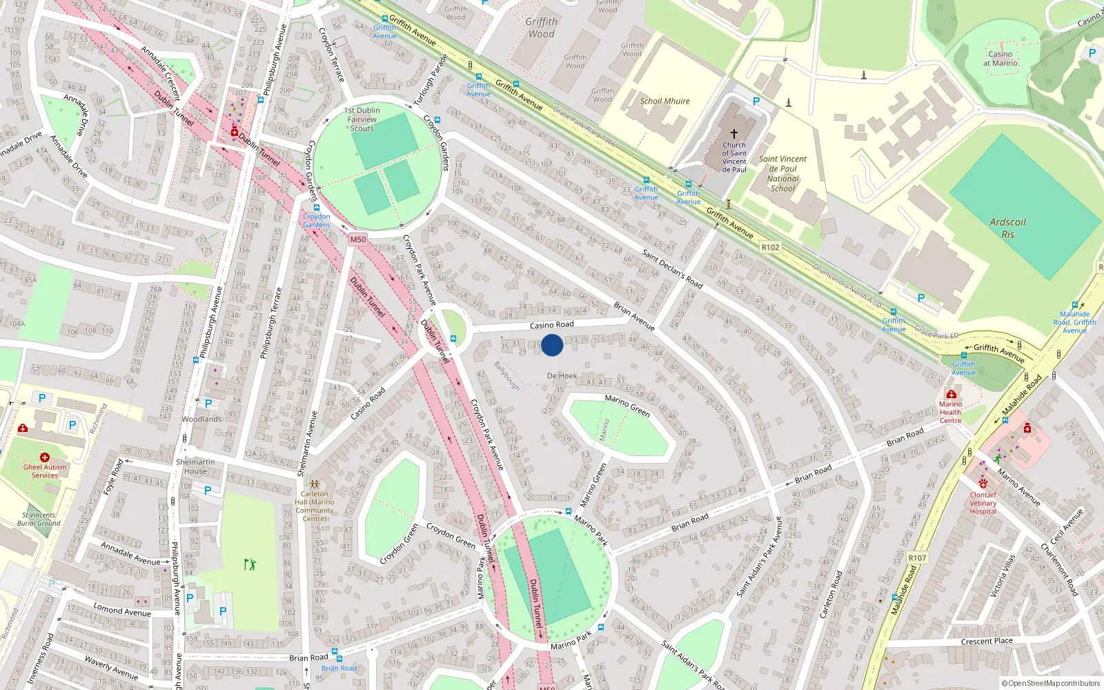
19 Casino Road
Dublin 3 / Marino / D03HY50
Estimate mortgage repayments →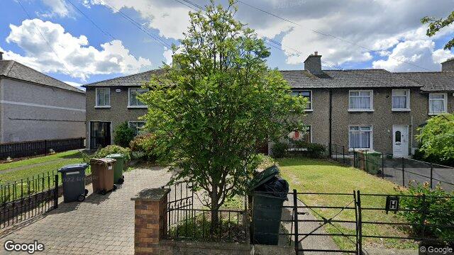
Sale History
Price Intelligence
This property has one recorded sale for €400,000 on 19 Jul 2024.
What did 19 Casino Road last sell for?
19 Casino Road last sold for €400,000 on 19 Jul 2024.
How does 19 Casino Road compare to others near Casino Road?
At €400,000, 19 Casino Road last sold 8.6% below the Casino Road street median of €437,500 (based on 34 recorded sales).
How does 19 Casino Road compare to the rest of Marino?
Compared to Marino (median €410,000, 359 sales), 19 Casino Road sits 2.4% below the area average.
What is the investment growth rate on Casino Road?
Using properties on Casino Road with at least two recorded sales, the median annual growth rate is +5.9% per year over 10.3 years (2014 to 2025, 7 repeat-sale properties). How this is calculated.
Growth metrics use repeat-sale properties only. Methodology.
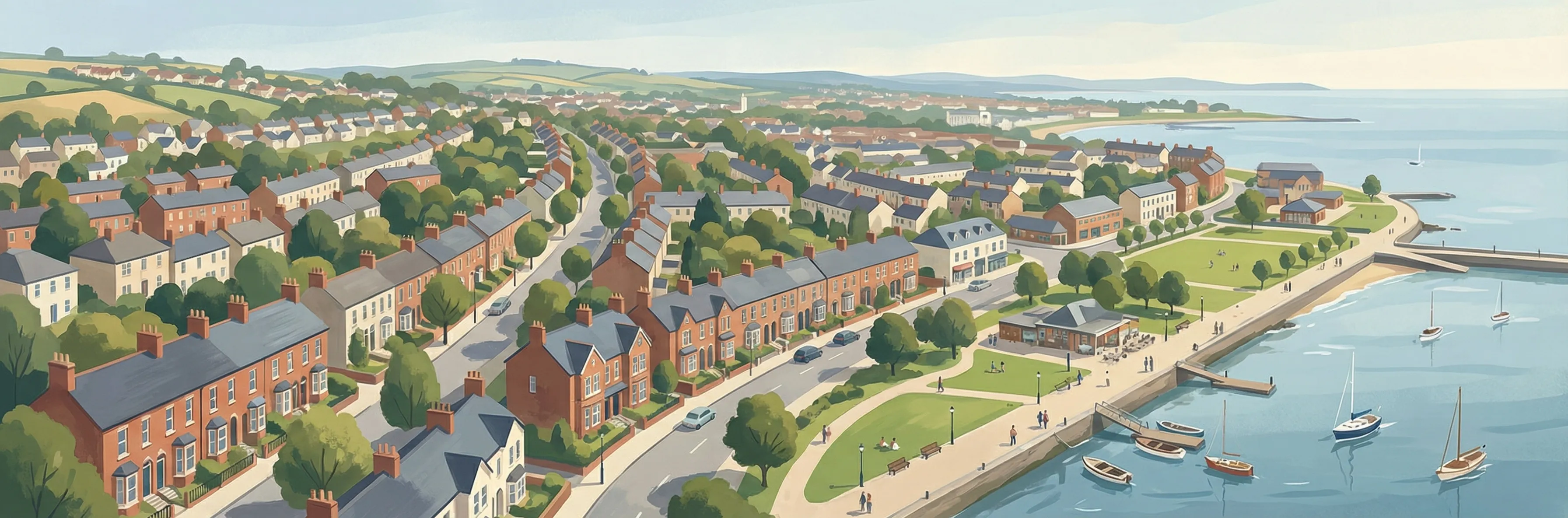
About Marino
The Casino at Marino — William Chambers' neoclassical masterpiece from 1759, with sixteen rooms concealed behind what appears to be a single-room temple — is the architectural jewel, but Marino's broader significance lies in its housing estate. Built by Dublin Corporation in the late 1920s as Ireland's first large-scale planned suburb, the garden-city-influenced layout of 1,300 houses set a template for affordable housing in the new Irish state.
Housing in Dublin 3
Based on 11,869 BER assessments — see district details