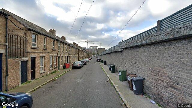
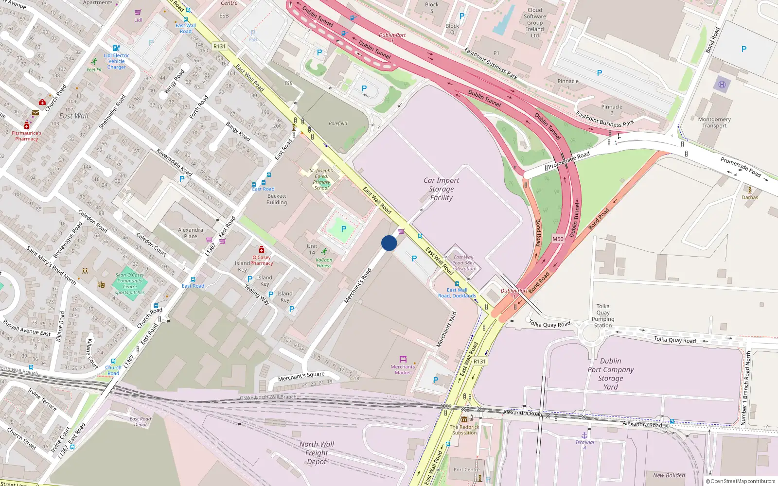
Merchant's Road

Dublin 3 / North Wall

Last Sale Price

€50,000
House Second-Hand 1 recorded sale
vs Street
-83.3%
Median €299,500
15 sales
Growth +5.5%/yr · 8.2 yrs
vs North Wall
-85.1%
Median €336,500
644 sales
Growth +6.2%/yr · 14.5 yrs
vs Dublin 3
-87.6%
Median €403,881
5,998 sales
Growth +6.5%/yr · 16.0 yrs
Street View near Merchant's Road, Dublin
Nearby Properties
Loading map…

Sale History

1 sale
€50,000
14 yrs, 2 mo ago
Second-Hand Dwelling house /Apartment

Price Intelligence

This property has one recorded sale for €50,000 on 16 Dec 2011. That places it 83.3% below the street median of €299,500.

€50,000 Street range €2,800,000
This property: €50,000
What did Merchant's Road last sell for?

Merchant's Road last sold for €50,000 on 16 Dec 2011.

How does Merchant's Road compare to others near Merchant S Road?

At €50,000, Merchant's Road last sold 83.3% below the Merchant S Road street median of €299,500 (based on 15 recorded sales).

How does Merchant's Road compare to the rest of North Wall?

Compared to North Wall (median €336,500, 644 sales), Merchant's Road sits 85.1% below the area average.

What is the investment growth rate on Merchant S Road?

Using properties on Merchant S Road with at least two recorded sales, the median annual growth rate is +5.5% per year over 8.2 years (2017 to 2025, 6 repeat-sale properties). How this is calculated.

Growth metrics use repeat-sale properties only. Methodology.
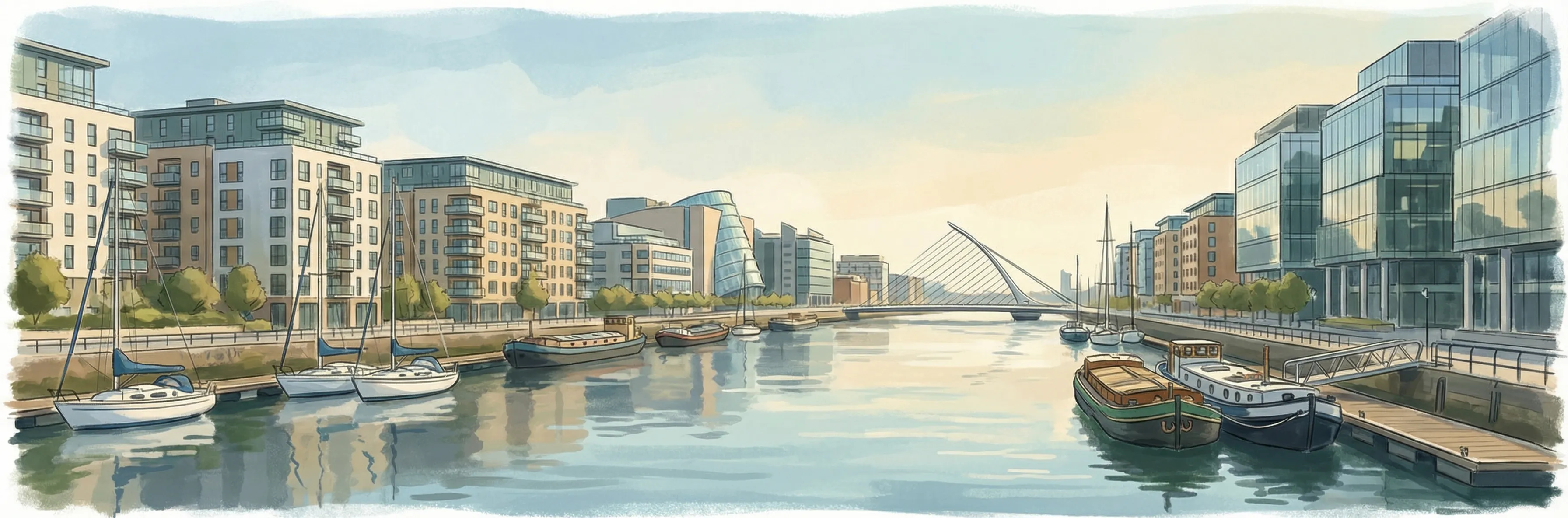
North Wall streetscape

About North Wall

North Wall is a neighbourhood in Dublin 3, Dublin.

Area Median
€336,500
644 sales
District Median
€403,881
5,998 sales
Street Median
€299,500
15 sales

Housing in Dublin 3

Typical Size
80 m²
Typical Build
1959
BER Ratings
A (efficient)G

Based on 11,869 BER assessments — see district details

Related Pages

Debug: Address & Geocode Data

Composed Display Address

Merchant's Road, Dublin

PPR Source

address 13&15 Merchants Road, East Wall, Dublin 3
canonical_address 13&15 MERCHANTS ROAD, EAST WALL, DUBLIN 3
eircode (PPR)
property_id 4fa6a2588af72aafef4e0d07c614f563b7ac69ff
region dublin-03
format_display_address() 13&15 Merchants Road, East Wall, Dublin 3

Parsed Address (URL Gen)

district dublin-03
district_display Dublin 3
area north-wall
area_display North Wall
street merchant-s-road
street_display Merchant S Road
house_number
slug 1315-merchants-road-east-wall
is_apartment false

Geocode Data

source_provider google
source_accuracy GEOMETRIC_CENTER
latitude 53.3534377
longitude -6.22727
formatted_address Merchant's Rd, North Wall, Dublin, Ireland
eircode (geocode)
locality Dublin
county County Dublin
resolution_method google_only
street_number
route Merchant's Road
sublocality
address_components
show raw JSON
[{"long_name": "Merchant's Road", "short_name": "Merchant's Rd", "types": ["route"]}, {"long_name": "North Wall", "short_name": "North Wall", "types": ["neighborhood", "political"]}, {"long_name": "Dublin", "short_name": "Dublin", "types": ["locality", "political"]}, {"long_name": "County Dublin", "short_name": "D", "types": ["administrative_area_level_1", "political"]}, {"long_name": "Ireland", "short_name": "IE", "types": ["country", "political"]}]

Provider Geocode Payloads

Google ok
query_text 13&15 Merchants Road, East Wall, Dublin 3, Dublin 3, Ireland
fetched_at 2026-02-13T15:46:18Z
formatted_address Merchant's Rd, North Wall, Dublin, Ireland
eircode
locality Dublin
county County Dublin
street_number
route Merchant's Road
sublocality
latitude 53.3534377
longitude -6.22727
address_components
show raw JSON
[
  {
    "long_name": "Merchant's Road",
    "short_name": "Merchant's Rd",
    "types": [
      "route"
    ]
  },
  {
    "long_name": "North Wall",
    "short_name": "North Wall",
    "types": [
      "neighborhood",
      "political"
    ]
  },
  {
    "long_name": "Dublin",
    "short_name": "Dublin",
    "types": [
      "locality",
      "political"
    ]
  },
  {
    "long_name": "County Dublin",
    "short_name": "D",
    "types": [
      "administrative_area_level_1",
      "political"
    ]
  },
  {
    "long_name": "Ireland",
    "short_name": "IE",
    "types": [
      "country",
      "political"
    ]
  }
]
raw_payload
show raw JSON
{
  "accuracy": "GEOMETRIC_CENTER",
  "address_components": [
    {
      "long_name": "Merchant's Road",
      "short_name": "Merchant's Rd",
      "types": [
        "route"
      ]
    },
    {
      "long_name": "North Wall",
      "short_name": "North Wall",
      "types": [
        "neighborhood",
        "political"
      ]
    },
    {
      "long_name": "Dublin",
      "short_name": "Dublin",
      "types": [
        "locality",
        "political"
      ]
    },
    {
      "long_name": "County Dublin",
      "short_name": "D",
      "types": [
        "administrative_area_level_1",
        "political"
      ]
    },
    {
      "long_name": "Ireland",
      "short_name": "IE",
      "types": [
        "country",
        "political"
      ]
    }
  ],
  "country_code": "ie",
  "county": "County Dublin",
  "eircode": "",
  "formatted_address": "Merchant's Rd, North Wall, Dublin, Ireland",
  "lat": 53.3534377,
  "locality": "Dublin",
  "lon": -6.22727,
  "place_id": "ChIJPXMo_vkOZ0gRkPoHQoZ8nVQ",
  "provider": "google",
  "route": "Merchant's Road",
  "street_number": "",
  "sublocality": ""
}
Nominatim missing

No Nominatim summary payload cached for this property.

Composition Path

Route-based street_number + route + sublocality/locality

Eircode Resolution

PPR eircode
Geocode eircode
best_eircode (used) — none available

BER Data (no BER match)

No BER data matched for this property.

Computed Metrics

property_type Second-Hand
dwelling_type House
size_description None
holding_years None
annualized_pct None
vs_street_median_pct -83.3
street_median 299500
street_sample_size 15
street_is_reliable true
vs_area_median_pct -85.1
area_median 336500
area_sample_size 644
area_is_reliable true
vs_district_median_pct -87.6
district_median 403881
district_sample_size 5998
district_is_reliable true
street_growth_rate_pct 5.5
street_growth_years 8.2
street_growth_sample_size 6
area_growth_rate_pct 6.2
area_growth_years 14.5
area_growth_sample_size 136
district_growth_rate_pct 6.5
district_growth_years 16.0
district_growth_sample_size 692
nearby_avg_price None
nearby_price_range None
nearby_count 0