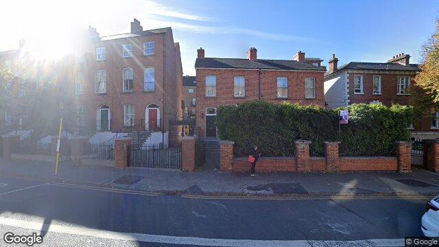
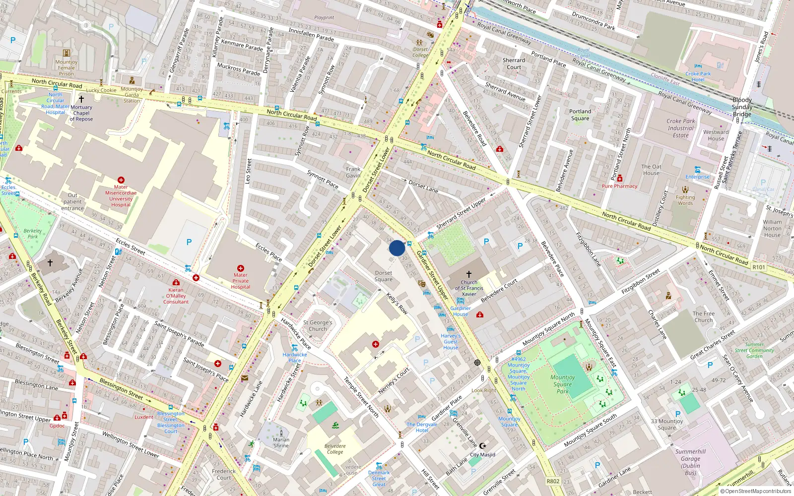
Apartment 5, 32/33 Upper Gardener Street
Dublin 1 / Rotunda / D01H935
Last Sale Price
Sale History
Overall: +29.9% from €304,000 to €395,000 ( → )
Price History
Price Intelligence
This property has been sold 2 times since 21 Jan 2021. The price has increased by +29.9% from €304,000 to €395,000. That works out to an annualised return of +6.6% over 4.1 years.
At €395,000, Apartment 5 last sold 8.1% below the Gardiner Street Upper street median of €430,000 (based on 21 recorded sales). Compared to Rotunda overall (median €250,000, 782 sales), Apartment 5 sits 58.0% above the area average.
Repeat-sale properties on Gardiner Street Upper show a median investment growth rate of +10.1% per year over 10.9 years (2014 to 2025, 5 repeat-sale properties).
What did Apartment 5 last sell for?
Apartment 5 last sold for €395,000 on 28 Feb 2025.
How many times has Apartment 5 been sold?
Apartment 5 has been sold 2 times between 21 Jan 2021 and 28 Feb 2025. The price increased by 29.9% over that period.
How does Apartment 5 compare to others near Gardiner Street Upper?
At €395,000, Apartment 5 last sold 8.1% below the Gardiner Street Upper street median of €430,000 (based on 21 recorded sales).
How does Apartment 5 compare to the rest of Rotunda?
Compared to Rotunda (median €250,000, 782 sales), Apartment 5 sits 58.0% above the area average.
What is the investment growth rate on Gardiner Street Upper?
Using properties on Gardiner Street Upper with at least two recorded sales, the median annual growth rate is +10.1% per year over 10.9 years (2014 to 2025, 5 repeat-sale properties). How this is calculated.
Growth metrics use repeat-sale properties only. Methodology.
Rotunda Rental Market
Properties in Rotunda like this one typically rent for the amounts below, based on tenancies registered with the Residential Tenancies Board.
Based on 9 registered tenancies. Source: RTB Rent Register. Yield estimated from median area rent vs last sale price.

About Rotunda
Parnell Square anchors this quarter — Dublin's first Georgian square, developed in the 1750s around the Rotunda Hospital, the world's oldest continuously operating maternity hospital. The Gate Theatre, Hugh Lane Gallery, and Garden of Remembrance sit within a few minutes' walk of each other, lending the area a concentrated cultural weight. The streets here carry layers of history from the 1913 Lockout rallies to the Irish Volunteers' first public meeting.
Housing in Dublin 1
Based on 11,162 BER assessments — see district details